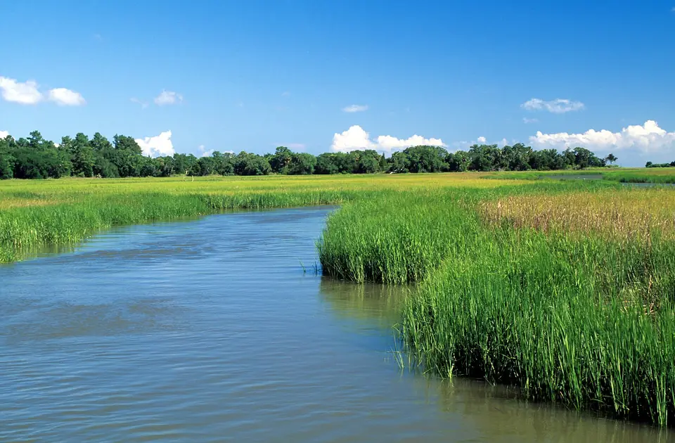
Which inlets lead to the ocean from Myrtle Beach?
Myrtle Beach itself has no inlet; the 60-mile Grand Strand beach runs unbroken from North Myrtle Beach to Garden City. Boats reach the ocean through three inlets:
- Little River Inlet, at the North Carolina line. Little River and North Myrtle Beach fleets, Cherry Grove, and the Calabash, NC boats use it. It has rock jetties on both sides.
- Murrells Inlet, at the south end of Garden City Beach. The inlet's jetties and the Marsh Walk restaurants make it the Grand Strand's busiest charter port.
- Winyah Bay, at Georgetown, where the Waccamaw, Pee Dee, Black, and Sampit rivers meet the sea. Georgetown fleets and the Georgetown Blue Marlin Tournament run from here.
Between them, the Atlantic Intracoastal Waterway (the "ditch") runs behind the beach from Little River to Socastee and on to Georgetown, so many inland marinas reach the ocean by running the waterway to an inlet. Inlets can be dangerous on an outgoing tide against an onshore wind; if you are new to them, go with a local captain first. See boat ramps and inlets.
Public boat landings (Horry County)
Horry County Parks and Recreation operates these landings. Facilities, parking, and fees change; check the county page before you trailer.
Johnny Causey Landing
2111 Little River Neck Rd, North Myrtle Beach, SC 29582
On the Intracoastal Waterway near Little River Inlet.
T. Craig Campbell Landing
148 Morgan Ave, Little River, SC 29566
Little River waterfront; short run to Little River Inlet.
Peter Vaught Sr. Landing
10923 Schultz Way, Myrtle Beach, SC 29572
On the Intracoastal Waterway.
Enterprise Landing
7999 Bay Rd, Myrtle Beach, SC 29588
On the Intracoastal Waterway near Socastee.
Peachtree Landing
6652 Peachtree Rd, Myrtle Beach, SC 29588
On the Waccamaw River (freshwater and brackish).
Stanley Drive Landing
292 Stanley Dr, Garden City, SC 29576
Garden City, on the creeks behind the beach; reaches Murrells Inlet.
Georgetown County: Murrells Inlet and Georgetown
Georgetown County operates the public landing at Murrells Inlet. Several marinas also launch boats for a fee; see the marinas in the directory.
Murrells Inlet Boat Landing
U.S. 17 Business, Murrells Inlet, SC 29576
County public landing on the inlet, with multiple launch lanes and trailer parking. Busy on summer weekends; arrive early.
Tides, marine forecasts, and buoys
Official NOAA and National Weather Service sources. The NWS Wilmington, NC office issues the marine forecast for the Grand Strand.
NOAA tide predictions: Springmaid Pier (station 8661070)
The reference tide station for Myrtle Beach. Inlet and marsh tides run later than the beach; use the nearest subordinate station for Murrells Inlet or Little River.
NWS Wilmington marine forecasts
Coastal waters forecasts. Zone AMZ254 covers Little River Inlet to Murrells Inlet out 20 nautical miles; AMZ256 covers Murrells Inlet to South Santee River. Offshore trips beyond 20 miles should also check the offshore forecast.
NDBC buoy 41004 (Edisto)
Offshore buoy about 41 nautical miles southeast of Charleston. Wind, waves, and water temperature for Gulf Stream trips.
NDBC buoy 41013 (Frying Pan Shoals)
Offshore of Cape Fear, NC; useful for the north end of the Grand Strand.
NDBC buoy 41024 (Sunset Nearshore)
Nearshore buoy off Sunset Beach, NC, just north of Little River Inlet.
Licenses, rules, and reporting
State waters run to 3 nautical miles; SCDNR sets the rules there. Beyond 3 miles, federal rules from NOAA Fisheries and the South Atlantic Fishery Management Council apply.
SCDNR licensing
Saltwater fishing licenses, sold online through GoOutdoorsSC, by phone, and at license agents.
SCDNR Marine Resources Division
217 Fort Johnson Road, Charleston, SC 29412
Saltwater fisheries management, artificial reefs, the red snapper project, and the state records program.
South Atlantic Fishery Management Council
4055 Faber Place Drive, Suite 201, North Charleston, SC 29405
Federal-waters rules for snapper, grouper, dolphin, wahoo, mackerel, and cobia, and the best fishing practices program.
NOAA Fisheries Southeast Region
Federal season announcements (fishery bulletins), including red snapper. Atlantic tunas, billfish, swordfish, and most sharks are managed by NOAA's Highly Migratory Species division and need an HMS permit on a private boat.
SCDNR artificial reef program
Locations and coordinates of the permitted artificial reefs off the Grand Strand.
Safety on the water
- File a float plan with someone on shore: where you are going, who is aboard, and when you will be back.
- Check the forecast and the buoys the night before and the morning of. Seas that look fine at the inlet can be very different 30 miles out.
- Carry the required safety gear: a wearable life jacket for everyone aboard, a throwable device, visual distress signals for coastal waters, a sound device, and a fire extinguisher where required. The U.S. Coast Guard and SCDNR boating pages list the requirements by boat size.
- Respect the inlets. Murrells Inlet and Little River Inlet both have jetties and shoals that move. Outgoing tide against an onshore wind stacks up steep waves.
- In an emergency on the water, call the Coast Guard on VHF channel 16 or dial 911.
Landings, harbors, and marsh


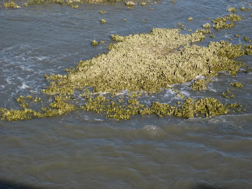
Photo credits and licenses · Photos are illustrative, not a specific local boat, business, or catch.